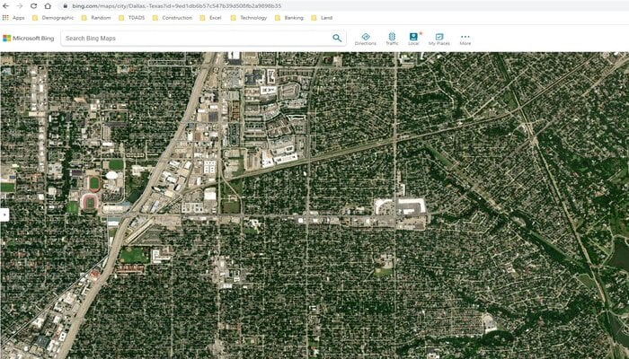
Google Maps has unveiled its latest enhancement, featuring improved satellite imagery resolution within the app. The latest update also extends the Street View feature's global coverage.
By utilising its Cloud Score and AI model, Google will identify and remove several additional objects such as clouds, haze, cloud shadows, and mist, providing users with sharper and clearer images on the Maps.
With all that executed, users will be able to get a more accurate look at Earth; however, the AI tool will work without removing other weather patterns such as snow, ice, and mountain shadows.
Read more: WhatsApp rolls out feature to clear unread message count for beta testers
Google launches Street View in THESE countries
Additionally, the tech giant is also introducing a major upgrade to its Street View feature by adding new imagery in around 80 countries.
Now, Street View will be available in countries, including Bosnia, Namibia, Liechtenstein, and Paraguay for the first time.
Other countries that offer Street View include:
- Australia
- Argentina
- Brazil
- Costa Rica
- Denmark
- France
- Iceland
- Japan
- Mexico
- New Zealand
- Philippines
- Rwanda
- Serbia
- Spain
- South Africa
- Switzerland
- Uruguay
Furthermore, Google Earth will soon allow users access to more historical imagery which includes satellite as well as aerial on both web and mobile versions.
These images span up to around 80 years. For instance, black and white photos of San Francisco captured by Oakland Airport pilots in 1938.


